On day four of my „many-rivers“-tour, I decided to change to river number four: the Main.
After a perfect stay in the hotel Krone in Hirschhorn, I took the train from Hirschhorn to Mosbach (Neckar). I arrived there after a half hour train ride at around 9 AM, pretty late to start a stint in the shape of an upside down U and on a sunny day 😉
Kategorie: Backpacking
-
Over the hill: Mosbach (Neckar) to Miltenberg (Main)
-
Country of castles: From Bad Friedrichshall to Hirschhorn
(mehr …)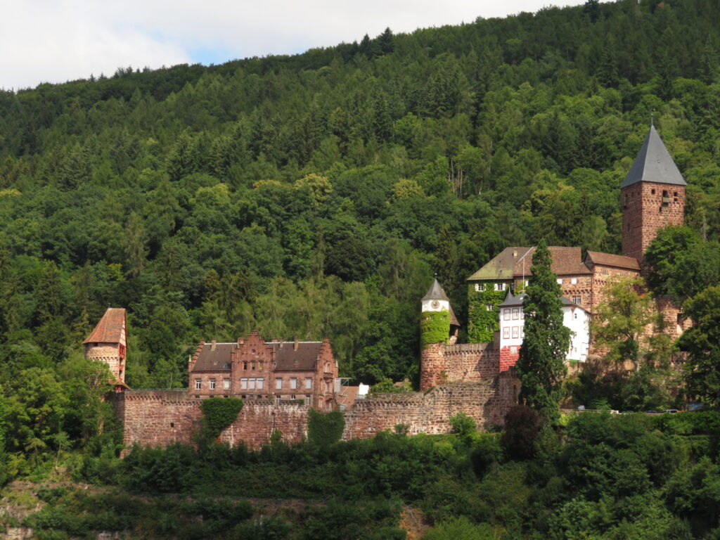
Castle Zwingenberg Breakfast at the hotel Sonne (=sun) started early, so I was on my bike already shortly after 8 AM. I cycled the way along the Neckar which I had taken the day before by foot to Bad Wimpfen.
The temperatures were comfortable and so I cycled along the river and had a wonderful view onto the castles which are located on the heights on the left and on the right of the river bank. -
Along the Jagst: Jagsthausen to Bad Friedrichshall
On Wednesday, my whole body was hurting after the steep climb at the end of the previous day. That’s why I decided against cycling the Limes (=Roman border wall) route which includes a lot up and downhills. And opted for the famous Kocher-Jagst cycling route and follow the Jagst river towards the Neckar, the reverse direction from the „original Kocher-Jagst-Route“.
(mehr …) -
From Kocher to the Jagst: Schwaebisch Hall to Jagsthausen
After two months of holiday after the first half of my cycling adventure, I started a separate stint to also tick-off Hesse from my list of federal German states.
(mehr …) -
Heilbronn to Schwaebisch Hall: off to summer break
Thursday was another holiday and another predicted hot day with thunderstorms and heavy rains predicted for later in the day. Consequence for me: another early start. This time I was on the road already at 7 AM!!! and it was already warm.
Since it was a holiday, almost nobody was on the streets and I found my way easily out of Heilbronn.
(mehr …) -
From Karlsruhe to Heilbronn
It was predicted to be another hot day and my calculated route would be around 90 km, including some meters in elevation. So I started the day with only a very small breakfast (only one dry bread roll….yummie ;-)) ) and veeeeeery early: I was on the road by 7 AM.
(mehr …) -
Green and sunny: From Dahn to Karlsruhe
(mehr …)
Hills on the left, hills on the right – and I’m just cycling downhill 🙂 What a beautiful day / ride
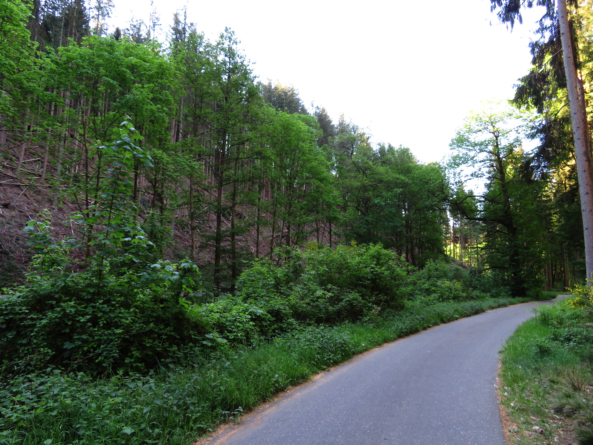
I started early, around 8 AM, because it was suppose to get warm again. I started off through the beautiful forest of the Pfaelzer Wald and the whole first ten kilometers were going downhill on a beautiful smooth cycling road. -
Rocks and trees: Dahn
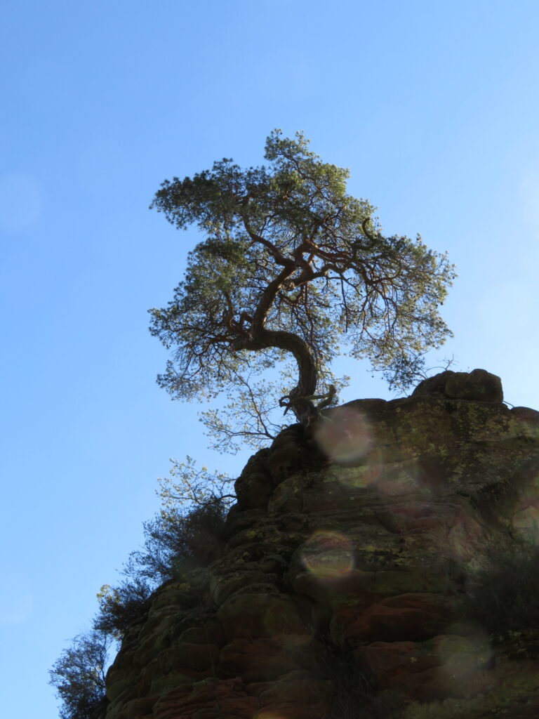
Today I went on the Felsenpfad (=rock trail) around Dahn, actually I did only half of the trail since I needed already three hours for the six kilometers of the first half. The reason? Beauty and curiosity and photo motifs everywhere and walking barefoot for a while and taking it easy and….
(mehr …) -
Mixed conditions but such a nice cycling day: Bierbach to Dahn
After the breakfast at the a little weird guest house (and the tiniest room I stayed in), I started into a beautiful morning: it was already warm and all the tourists were still asleep or at least not on the road ;-).
(mehr …) -
Quick trip: From Saarbruecken to Blieskastel
(mehr …)
Bye, bye, Saar Today, I already left the Saar again and cycled East towards the Pfaelzer Wald (= forest). I also cycled the shortest stint of my tour (about 32 km) – and I found a new app (more precisely, Dieter did), Naviki, which seems to work better than the one I used before. Let’s see 🙂